For Current Satellite and Radar Data: Go to the Radar Page - Radar
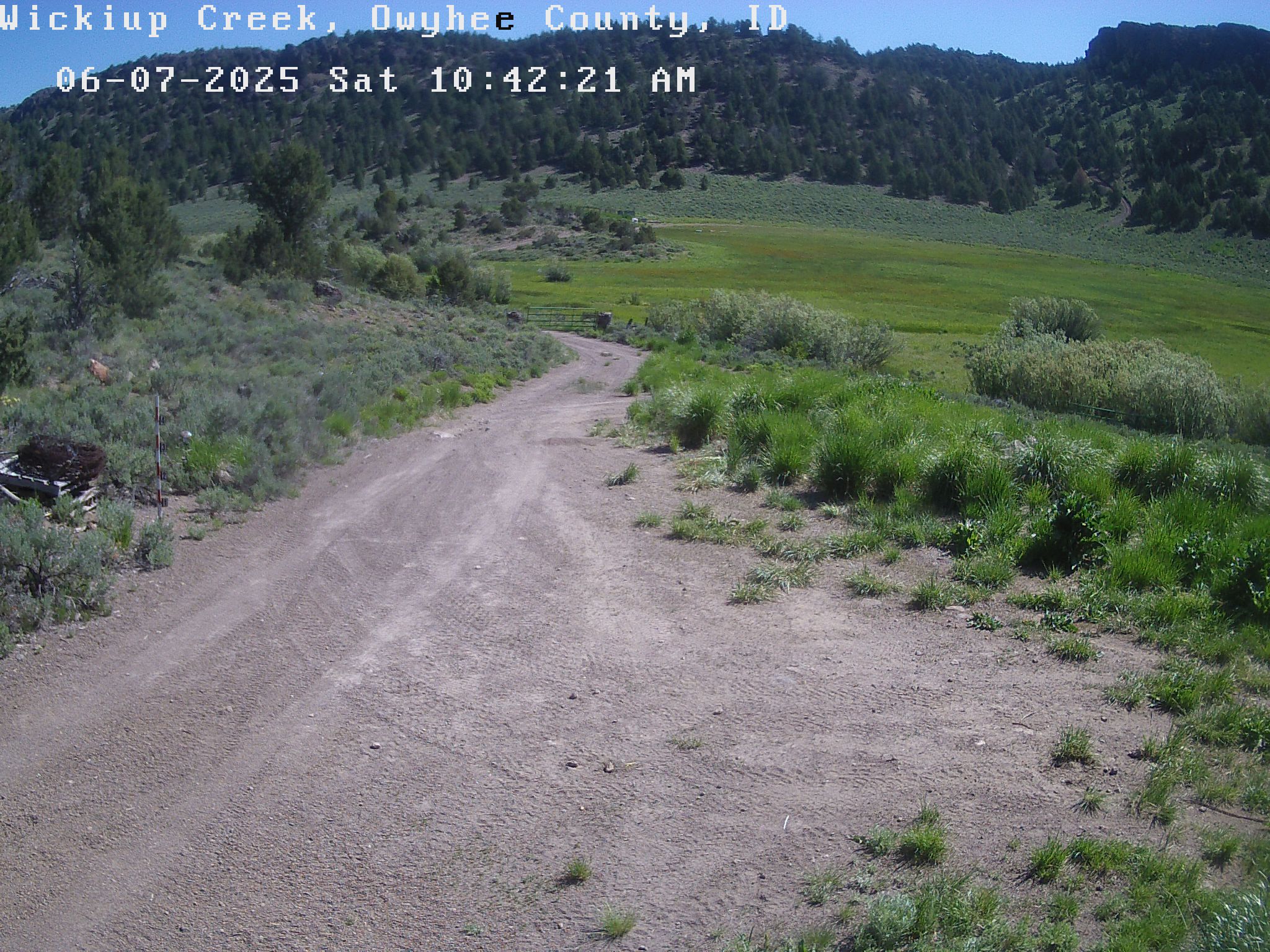
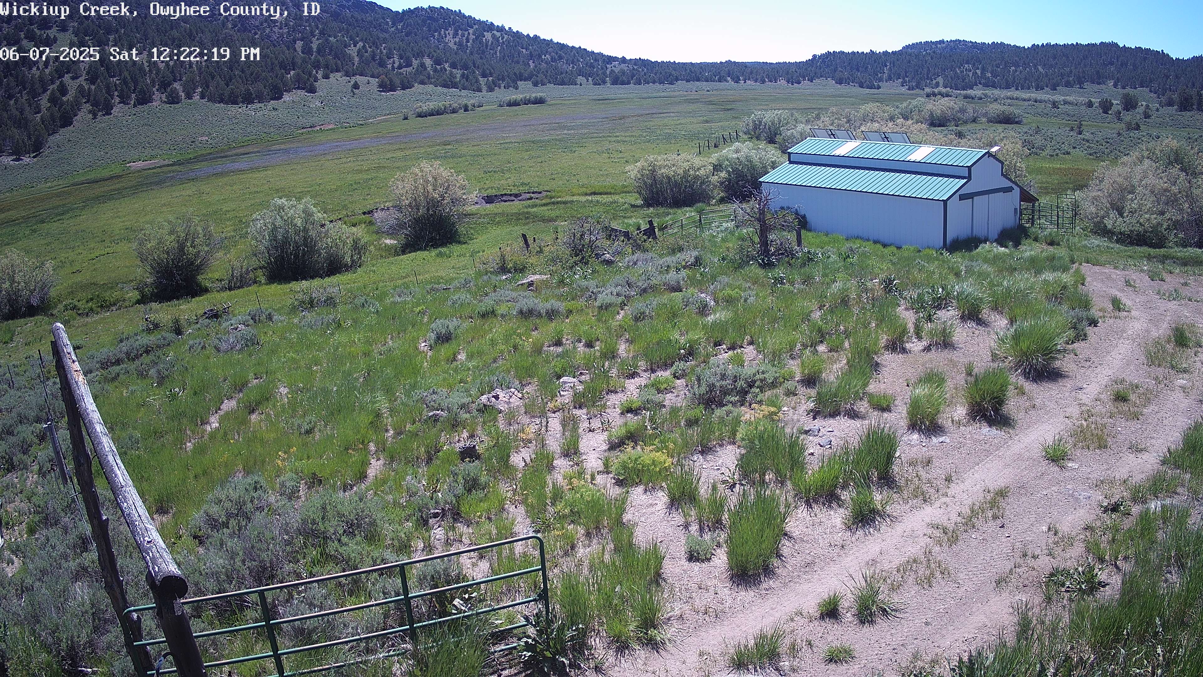
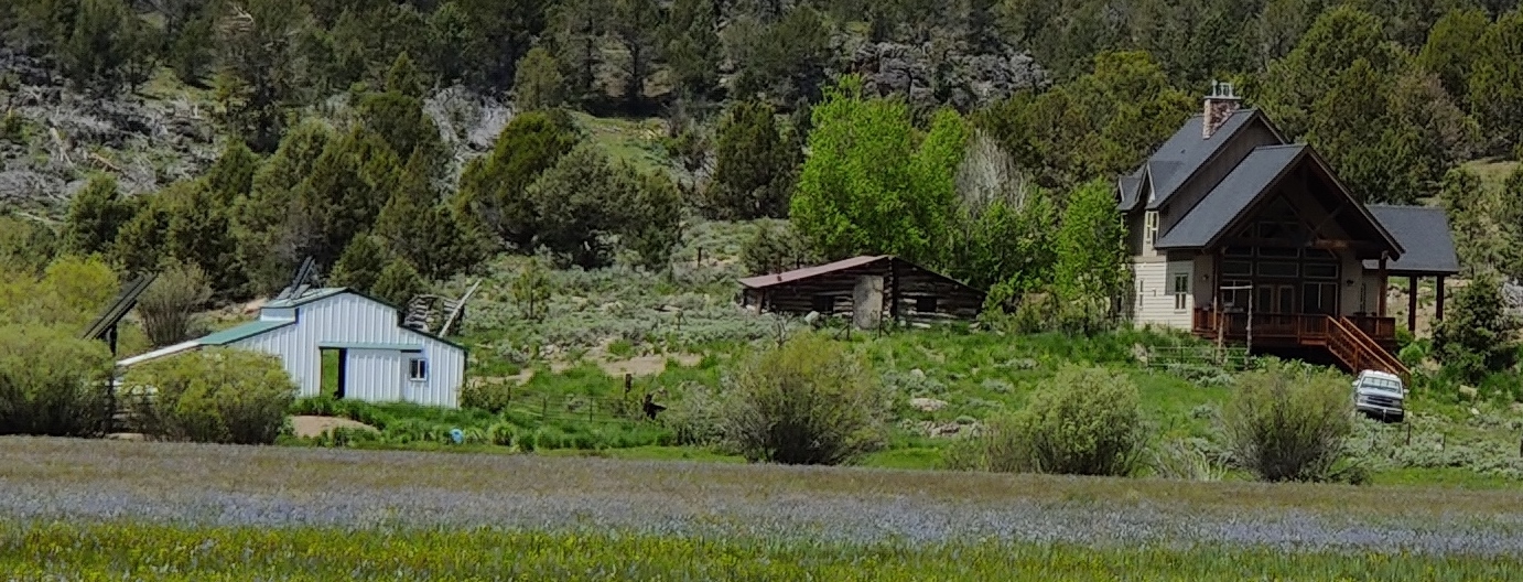
The Big Grass Fire grew moderately Monday. The picture above shows yesterdays fire border in dark red and the present burning fire and overnight growth in orange. The ranch cabin at Wickiup, where the below webcam pictures originate is located at the yellow dot just below the old Rosie fire burn scare from 2024 - in the middle right of the picture. As you can see from the webcam pictures below, much work is being done to protect the ranch cabin. We will try to keep you up-to-date as the fire enters the ranch grazing area and approaches the ranch cabin.
Although the fire is not immediately threatening our Wickiup Cabin, the fire is progressing easterly along the Mud Flat Road and is still threatening our smaller site at Bull Basin. That location is shown as a second yellow dot in the bottom right of the map.
The Big Grass Fire has now burned over 346,000 arces, and 839 personell are on the fire. Yesterday the fire along the Mud Flat Road was actively burning, and will likely continue the same today. This section of the fire is still threatening Bull Basin. Fire fighters are intentionally trying to keep the fire to the north of the Mud Flat Road. Unfortunately that means the fire is trying to move north into our ranch land.
The northern arm of the fire near Triangle is still threatening and is burning in difficult terrain; making it a challenge for fire fighters.
The most recent operational fire information can be found on YouTube at: @BigGrassFireInformation2026. Several updates are made each day, so check back regularly for the most recent update.
Camera images update at 10 minute intervals. Refresh browser to see latest updates.